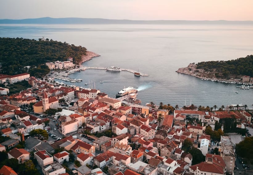
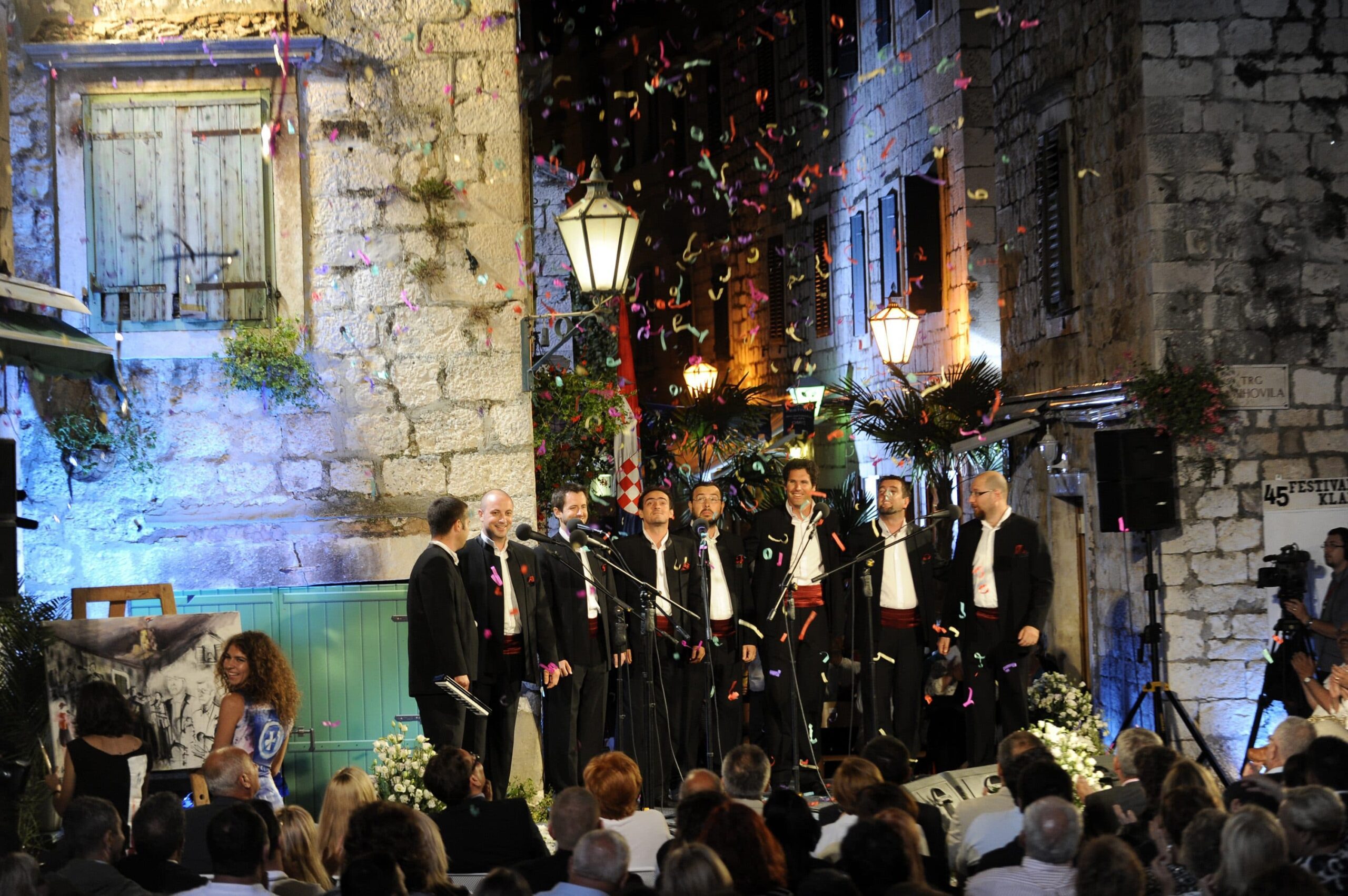
The Heart of the Adriatic
Summers last longer here. Welcome.
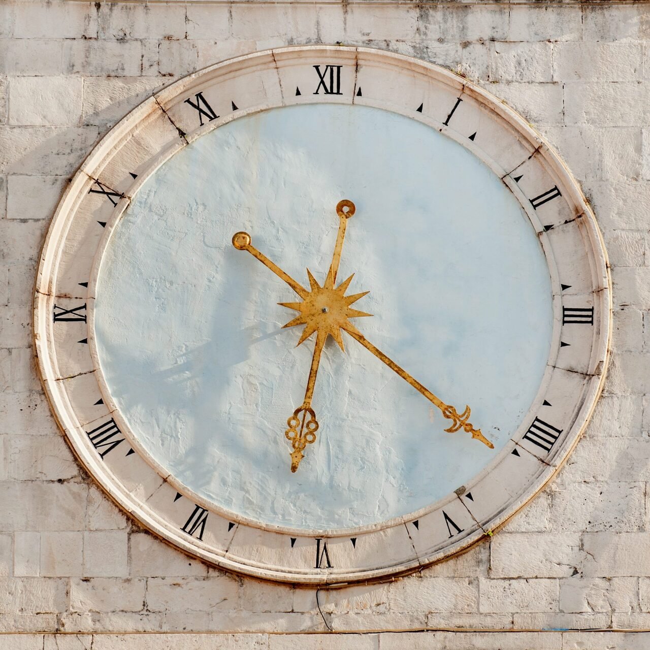
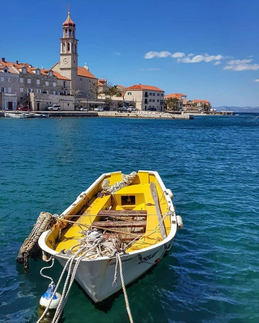
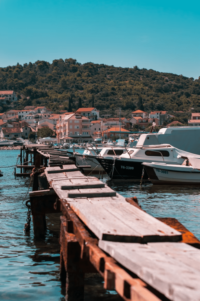
Central Dalmatia is more than just a destination – it’s a vibe. Whichever season you visit Dalmatia in, it will welcome you like royalty.
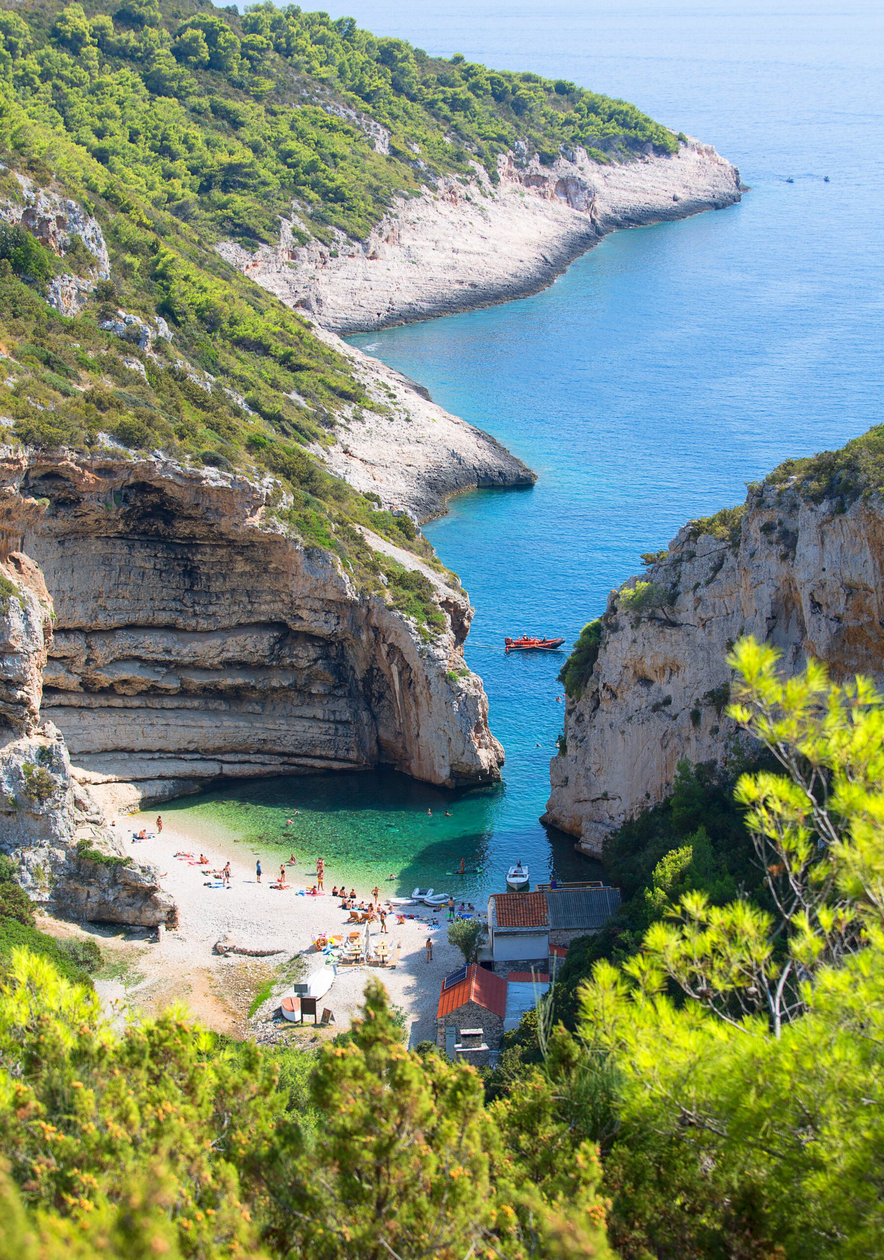
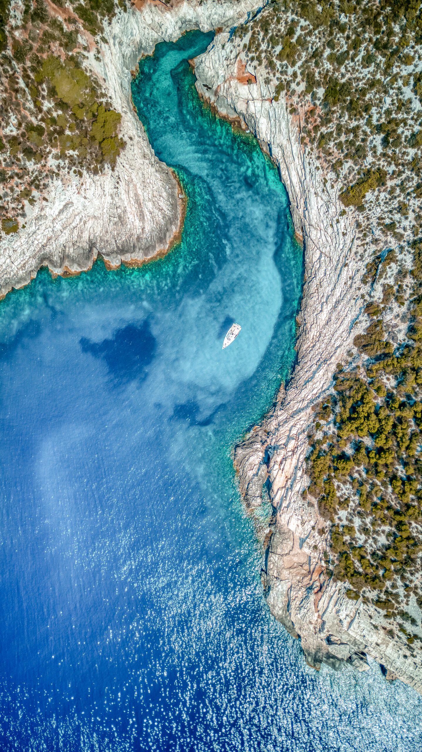
Nestled along the picturesque Adriatic coast of Croatia, Central Dalmatia beckons travelers with its enchanting blend of stunning beaches, crystal-clear waters, and rich cultural heritage.
Nestled along the picturesque Adriatic coast of Croatia, Central Dalmatia beckons travelers with its enchanting blend of stunning beaches, crystal-clear waters, and rich cultural heritage.
Indulge, explore &
relax
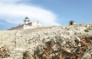
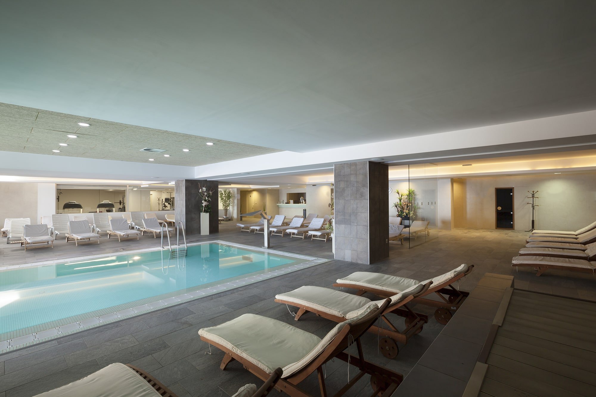
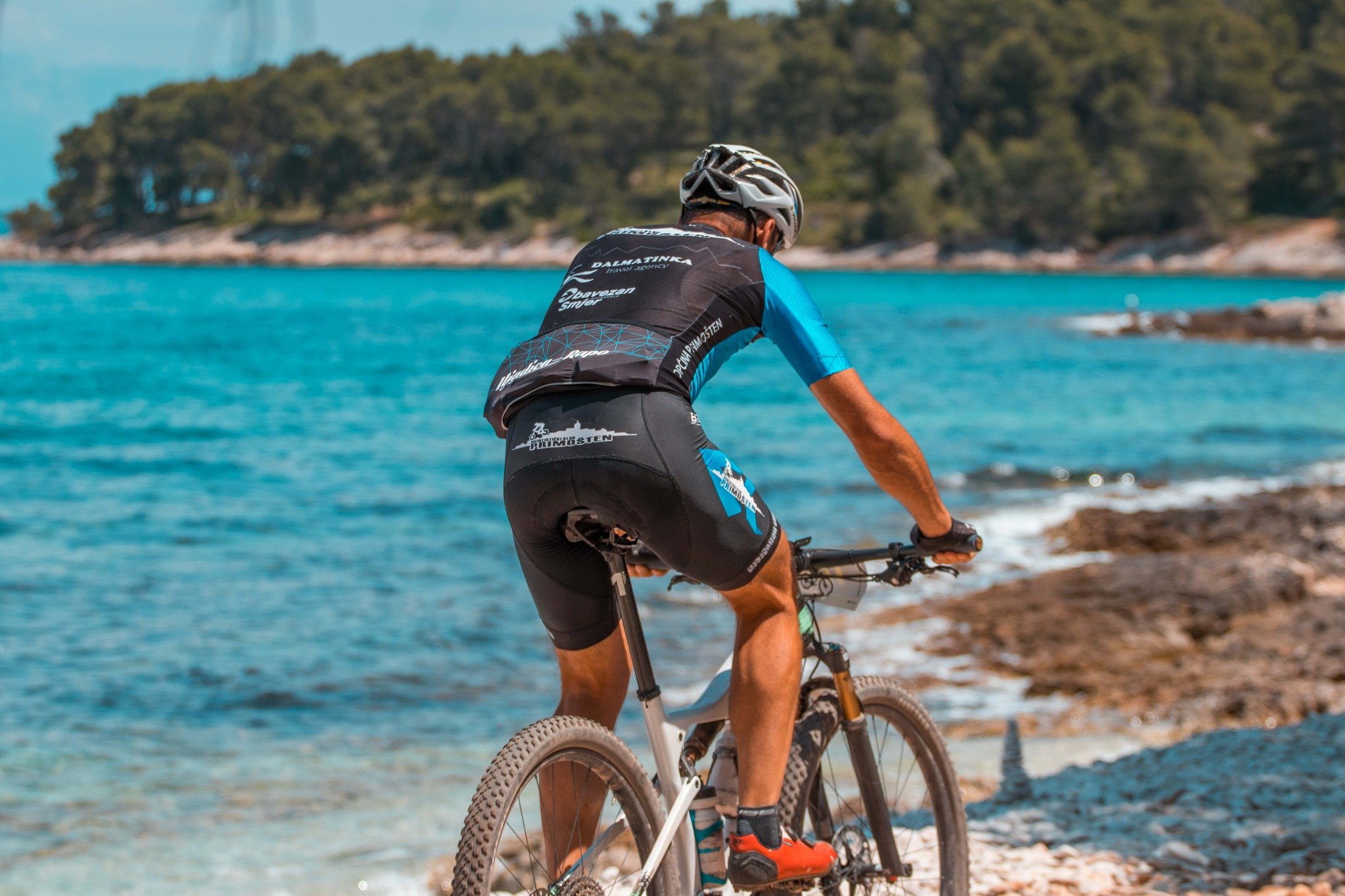
 ACTIVITIES
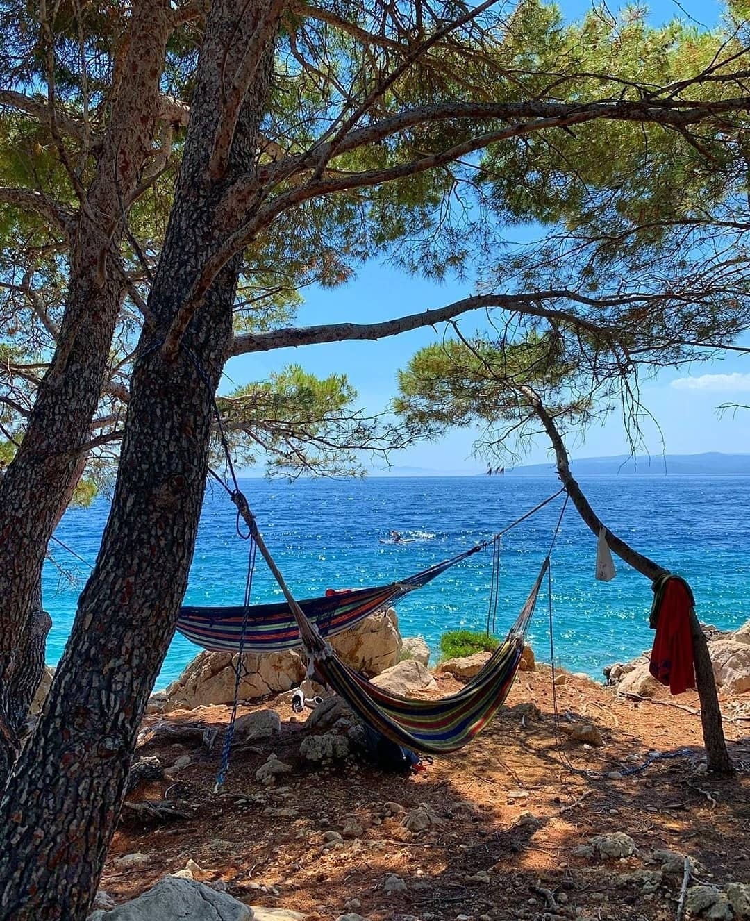
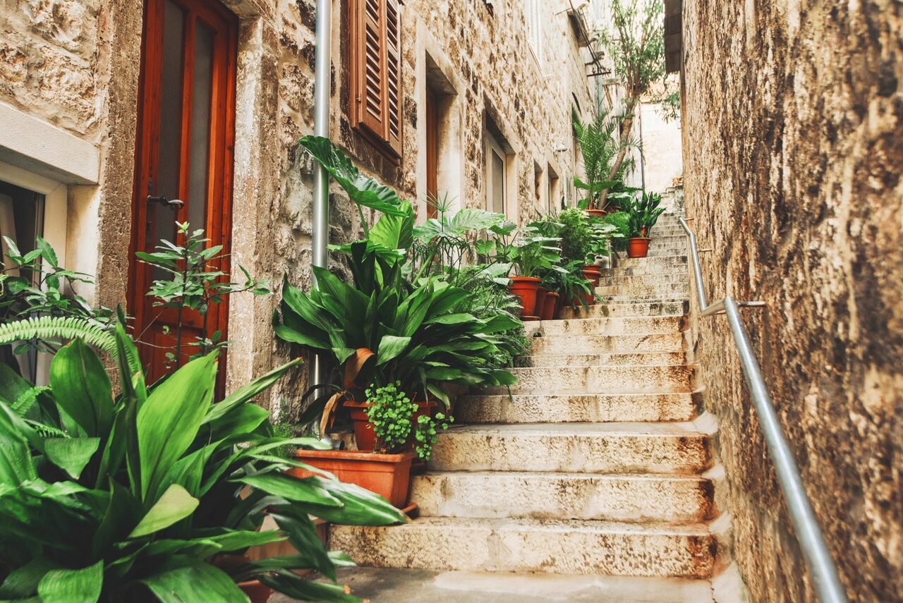
Welcome to the land where Summer starts in April and ends in November. No matter what kind of experience you’re looking for, we have something for everyone
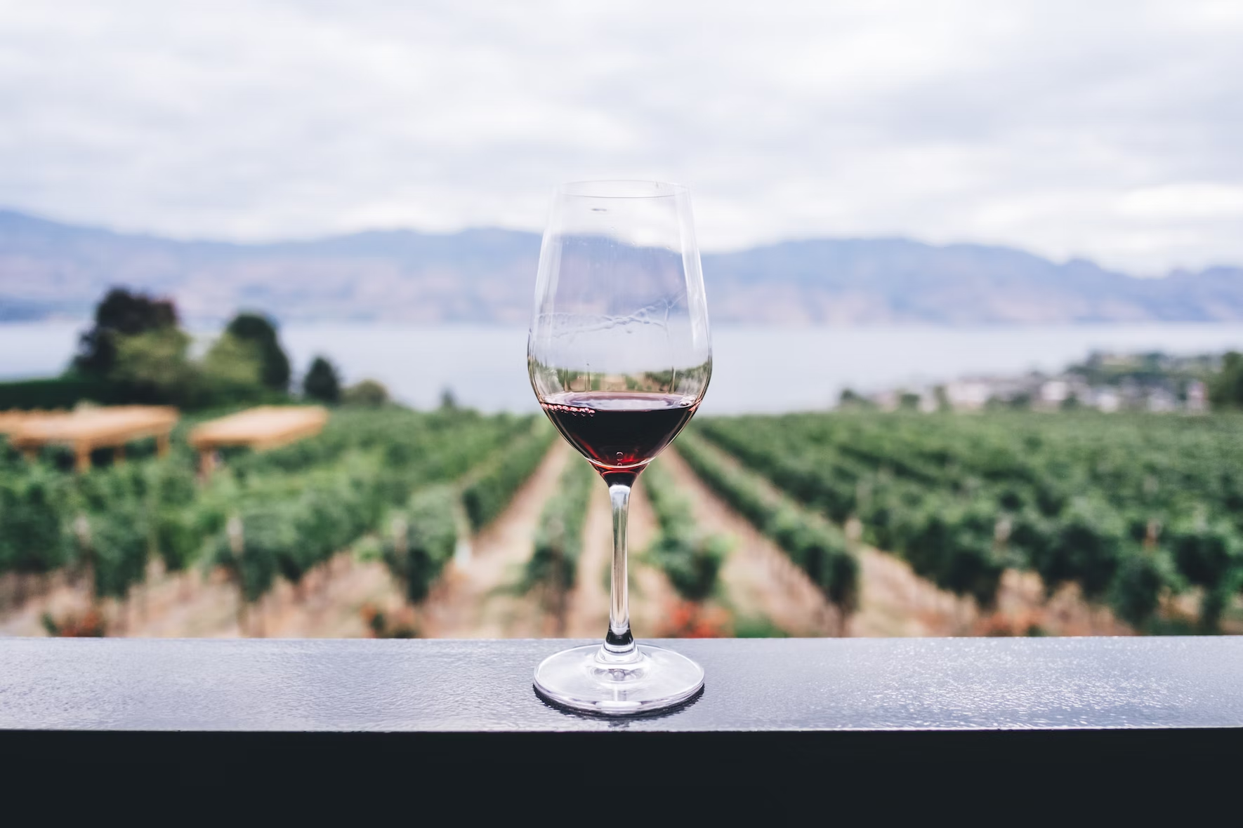

With its irresistible blend of history, nature and Mediterranean charm, a traveler’s paradise that will capture your heart and leave you longing for more.
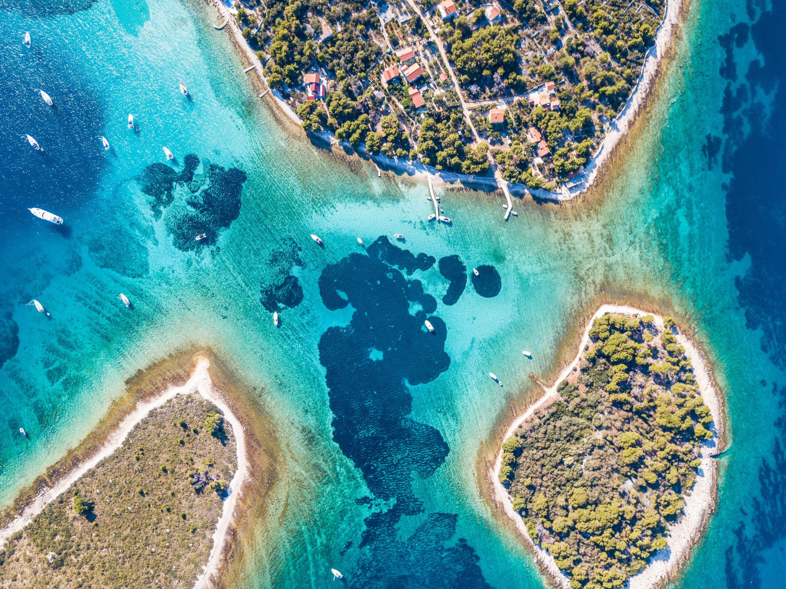
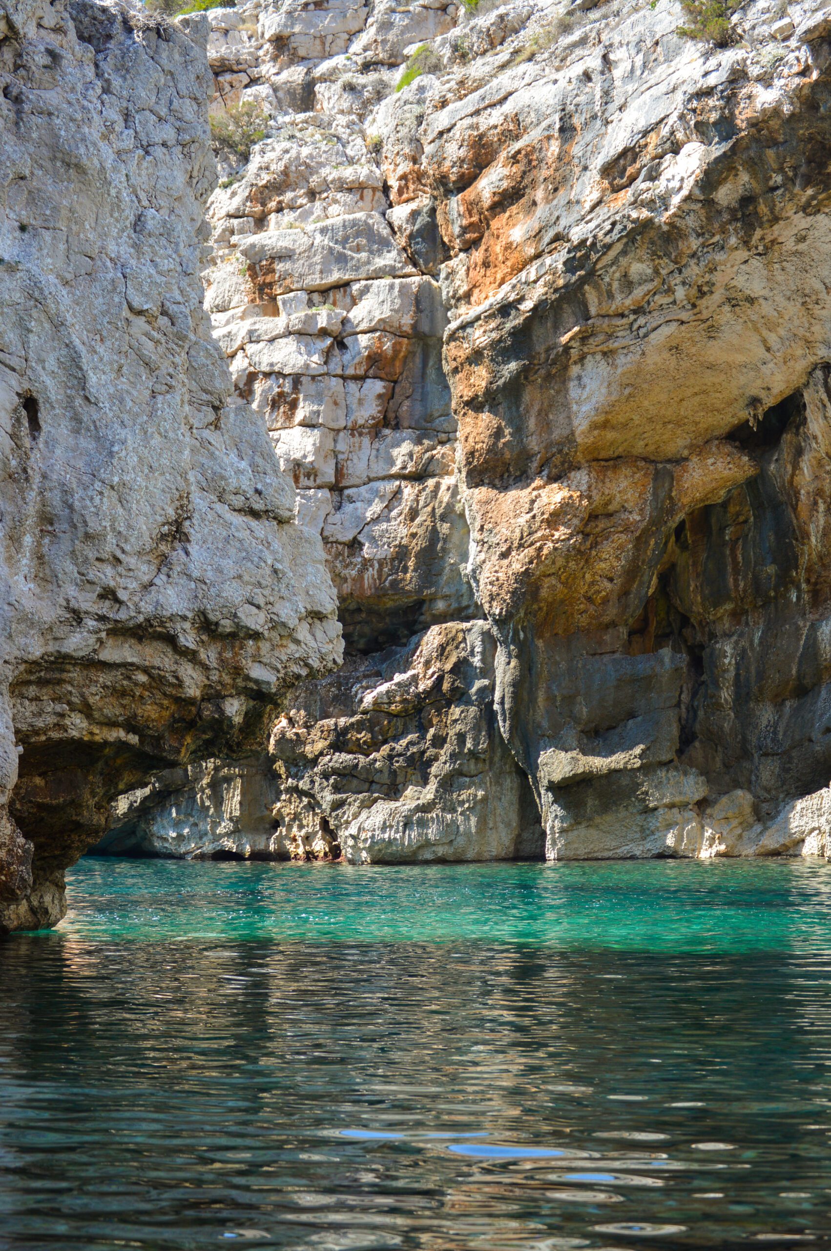
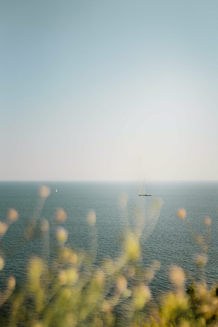
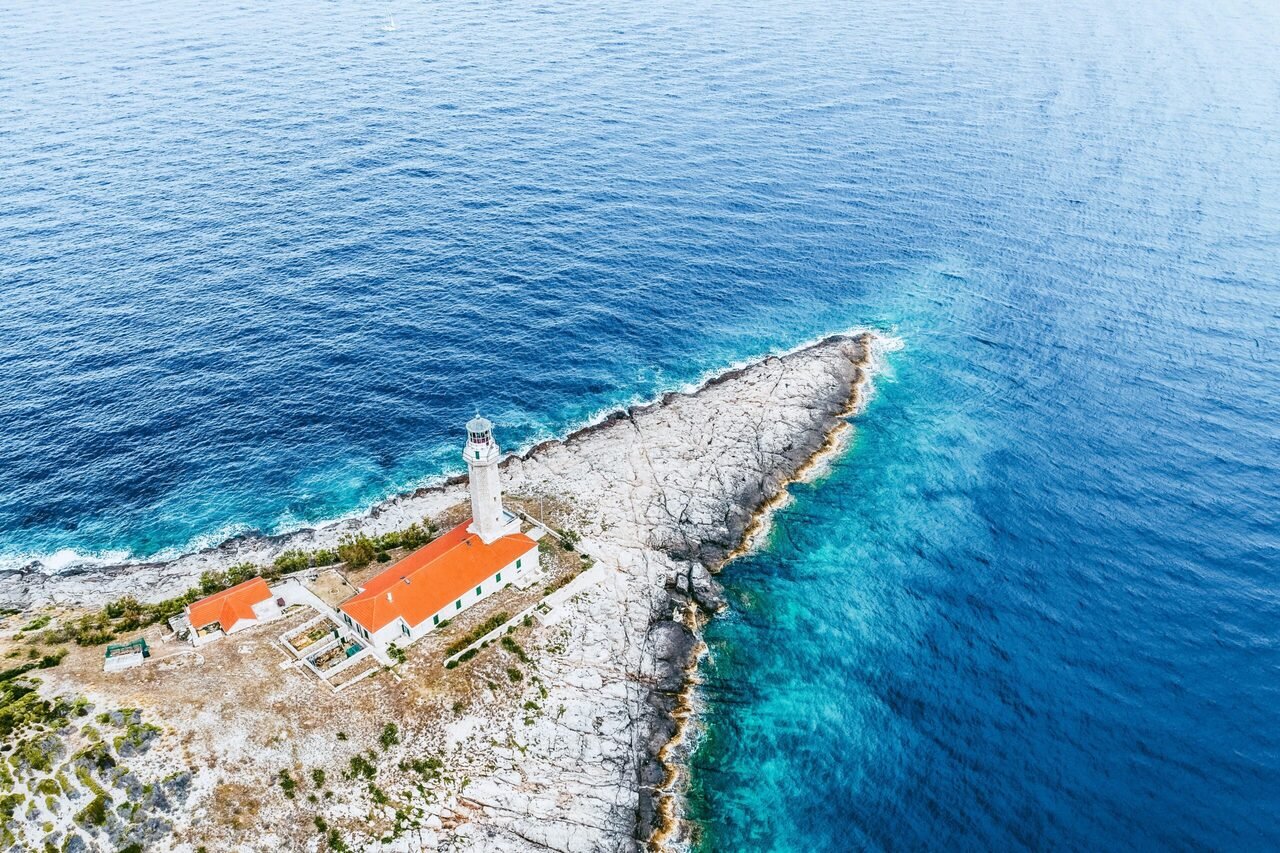
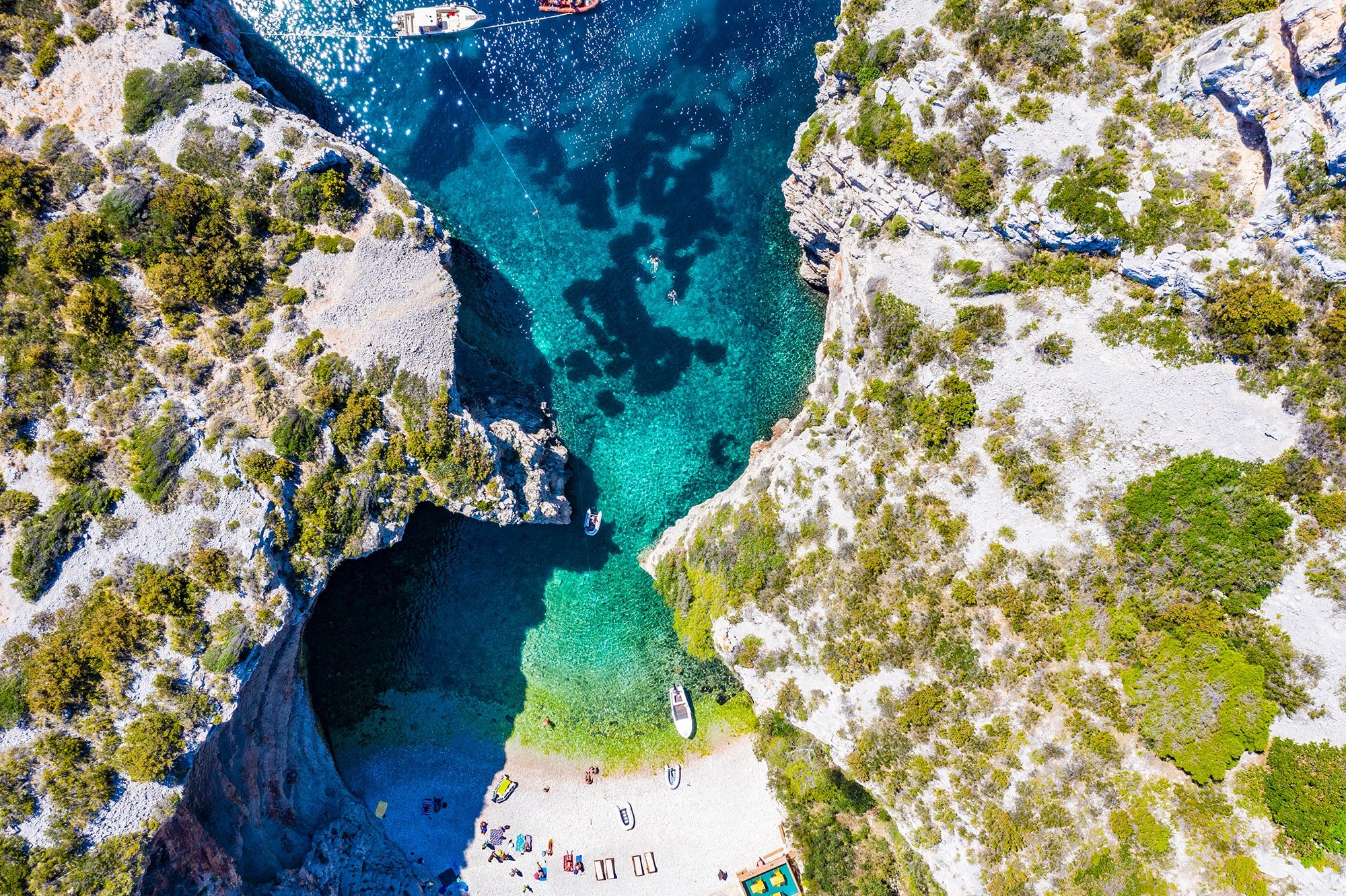
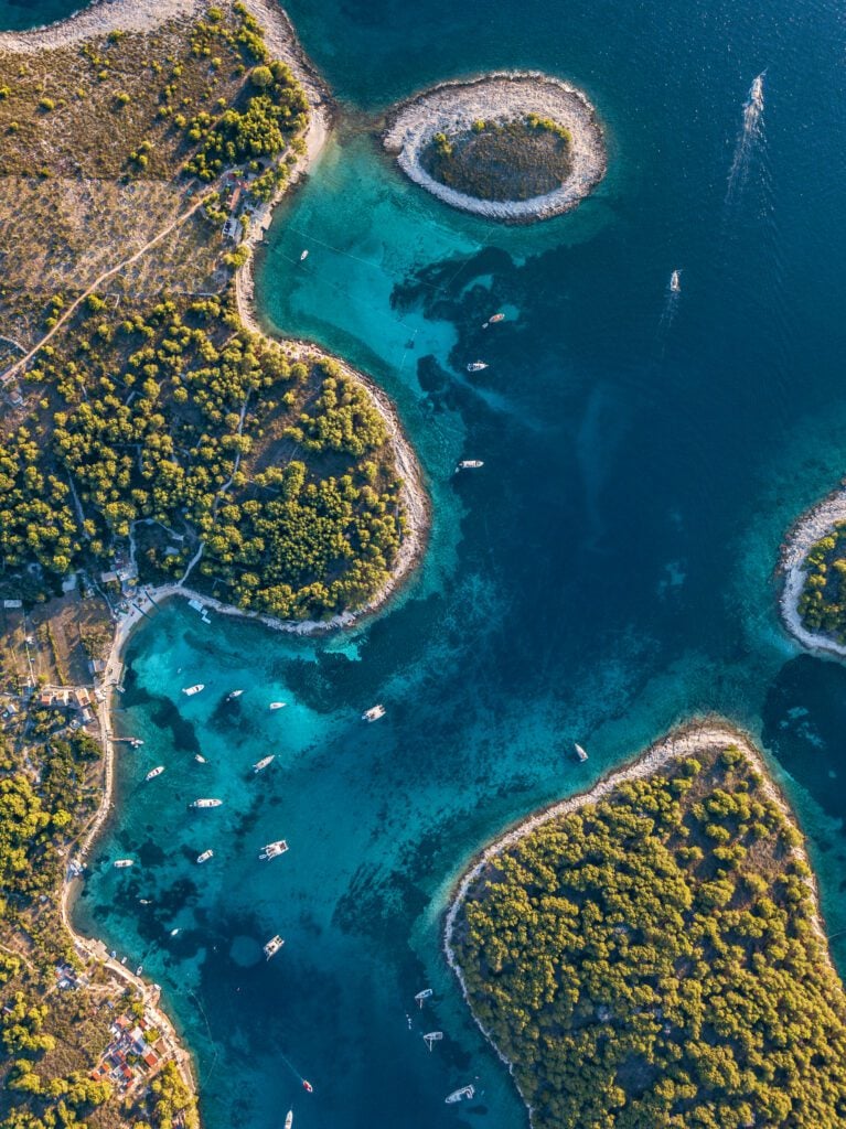
Islands, islets and reefs
1246
Croatia’s islands are a real treasure waiting to be explored. With over a thousand islands dotting the sparkling blue waters of the Adriatic Sea, each one offers a unique experience
So where will you go first?
first?
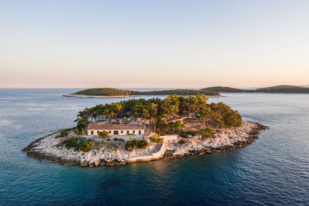
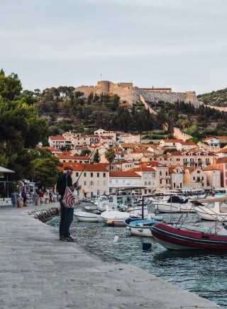
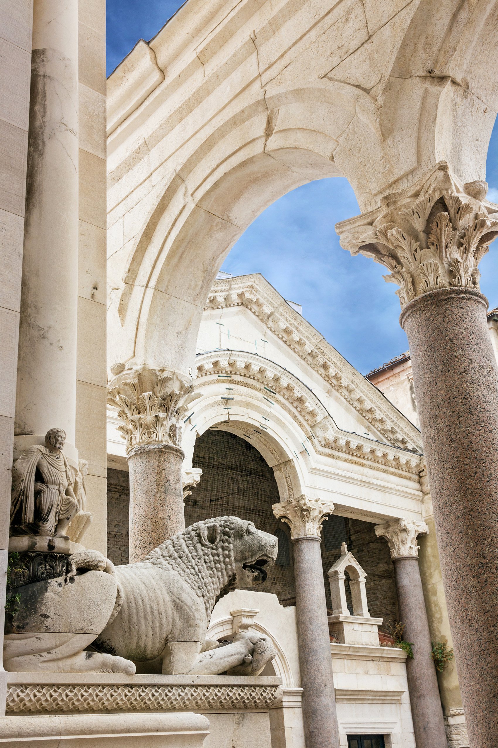
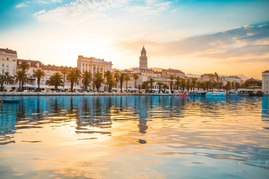
 DESTINATIONS
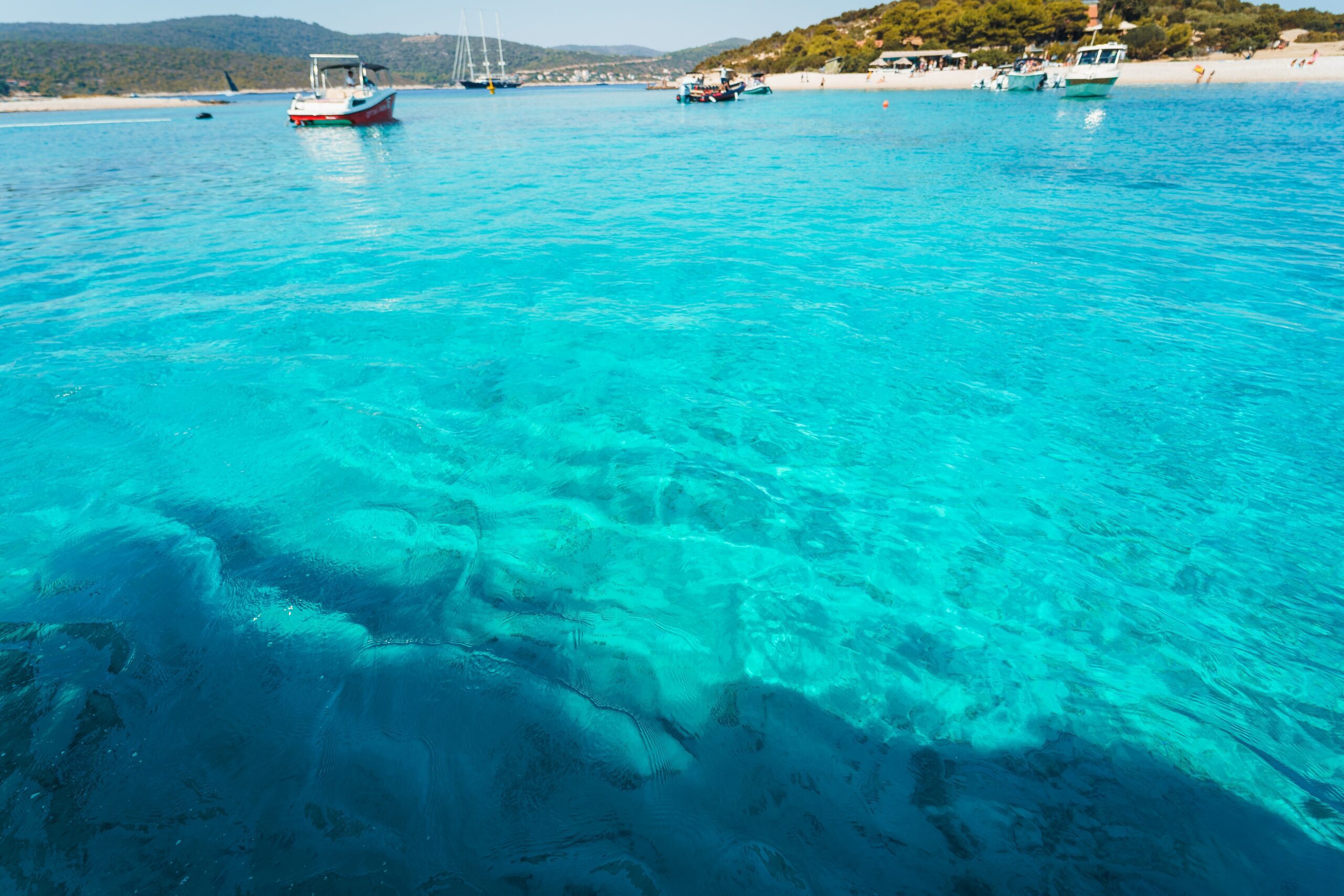
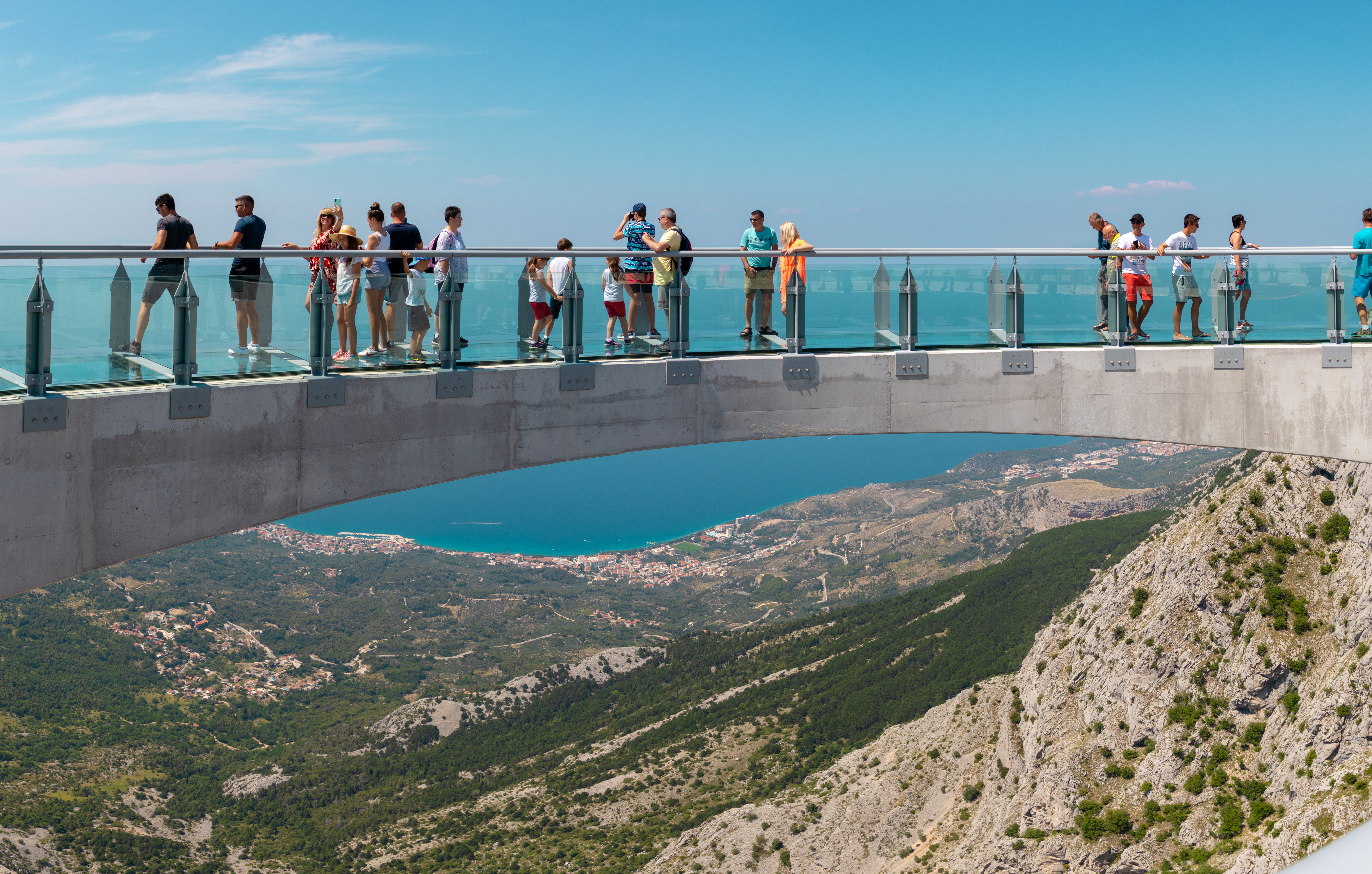
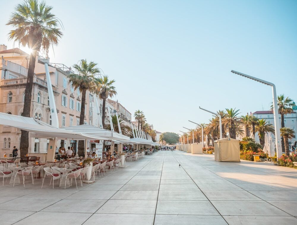
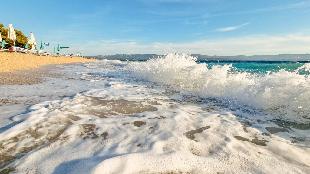
Warm and sunny weather makes Central Dalmatia a popular destination for tourists throughout the year
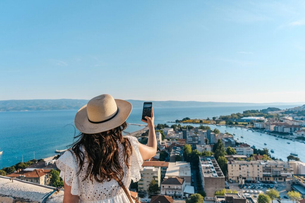
Known for its sunny Mediterranean climate, with over 2,700 hours of sunshine per year, Central Dalmatia is one of the sunniest regions in Europe.
Hours of sunshine
2700

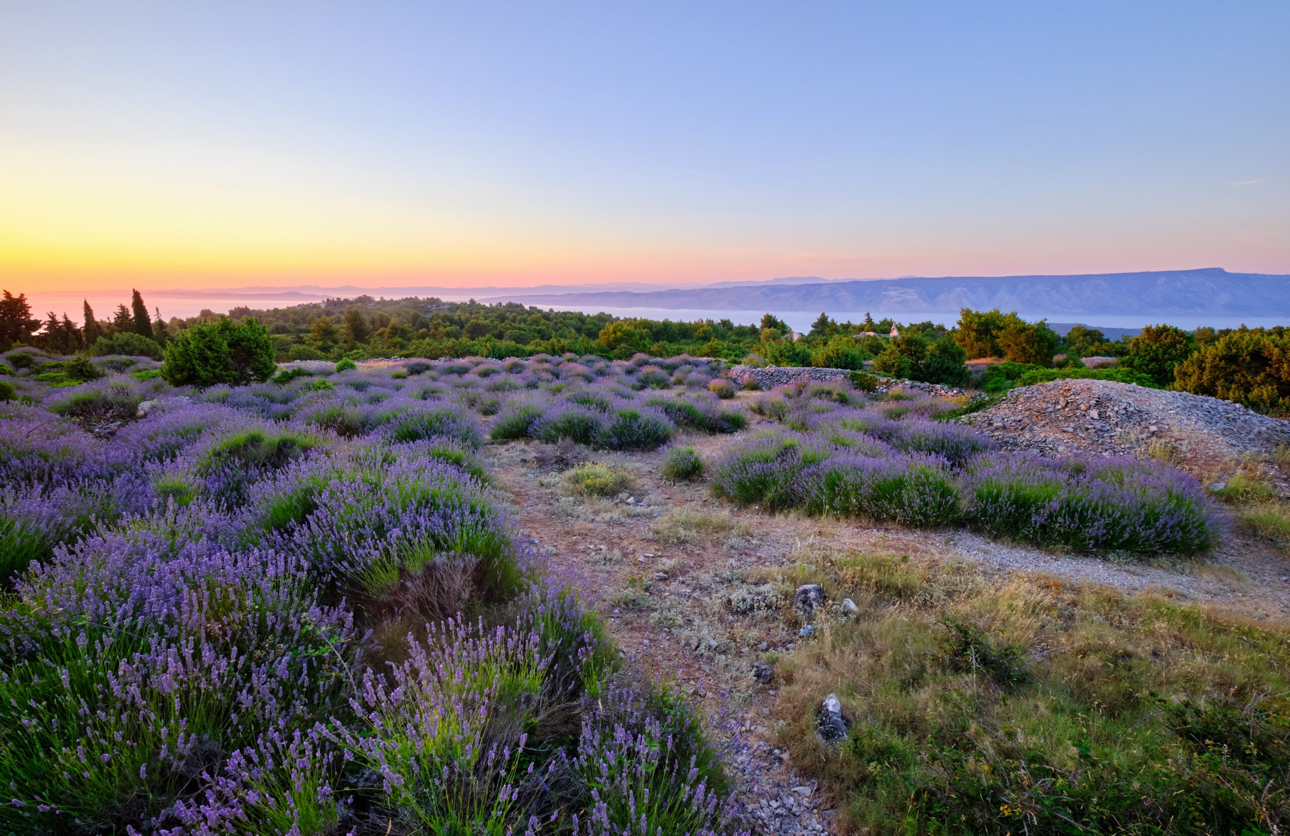
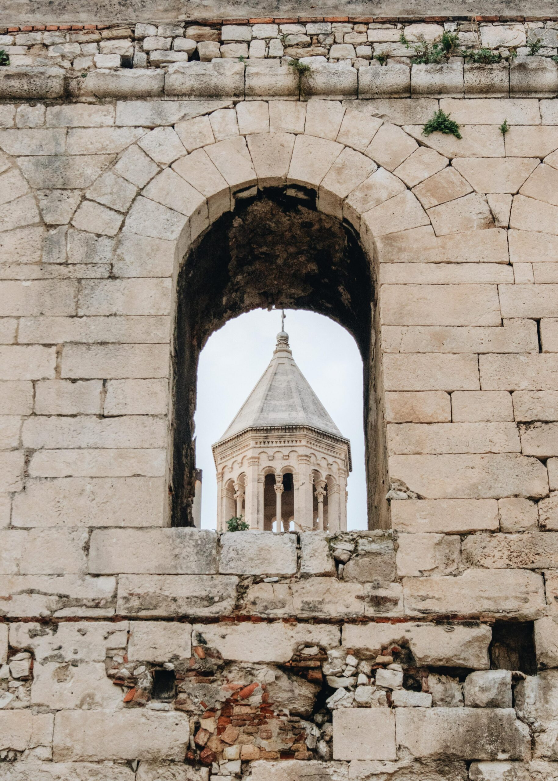

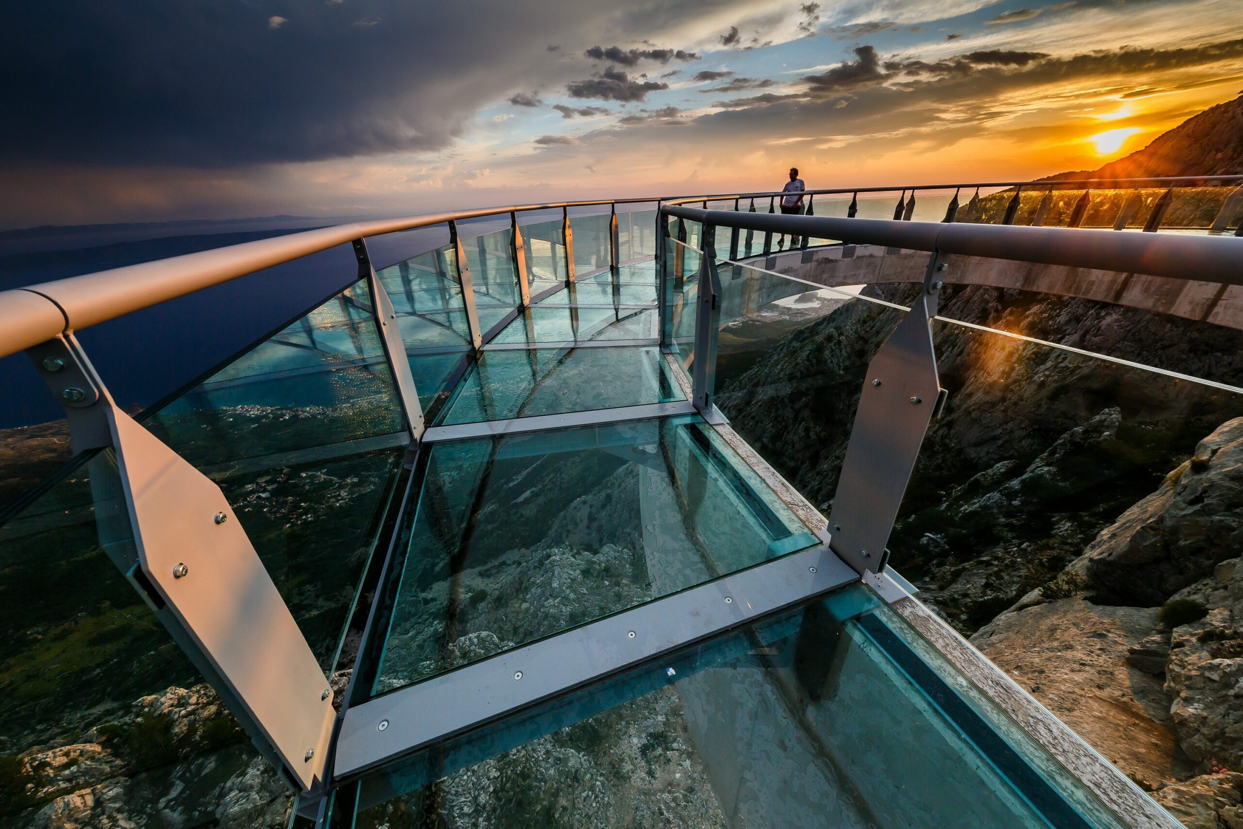
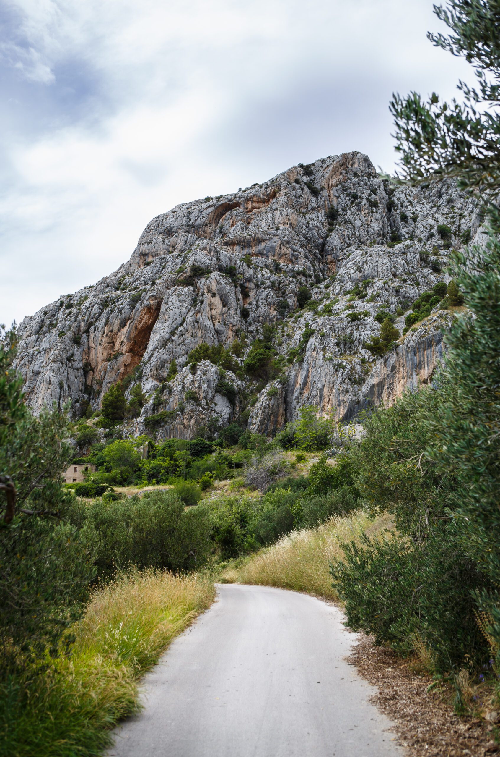
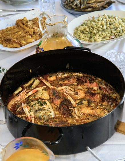
Those passionate about heavenly beaches, adventurers who enjoy hiking, as well as those more inclined to a peaceful exploration of historical sites… Dalmatia will capture the heart of every traveller
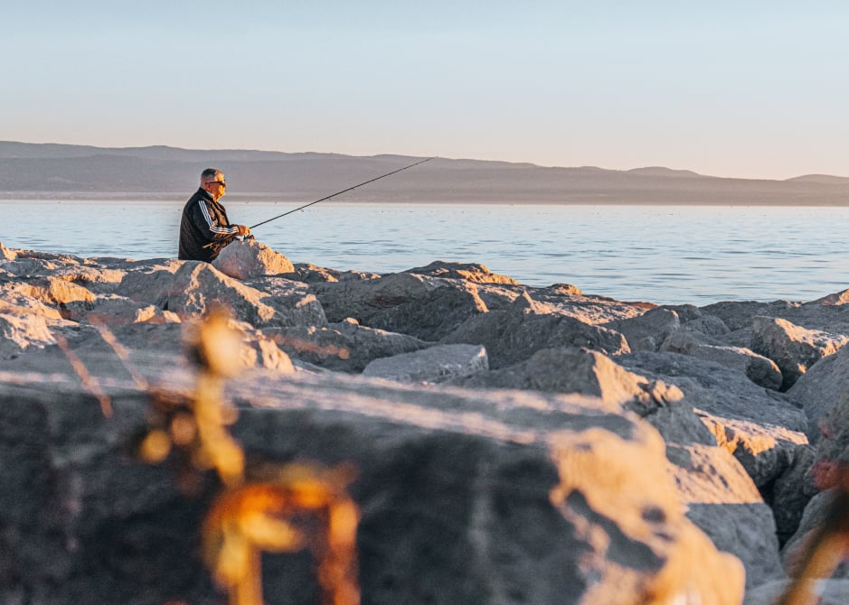

 SUN & SUMMER