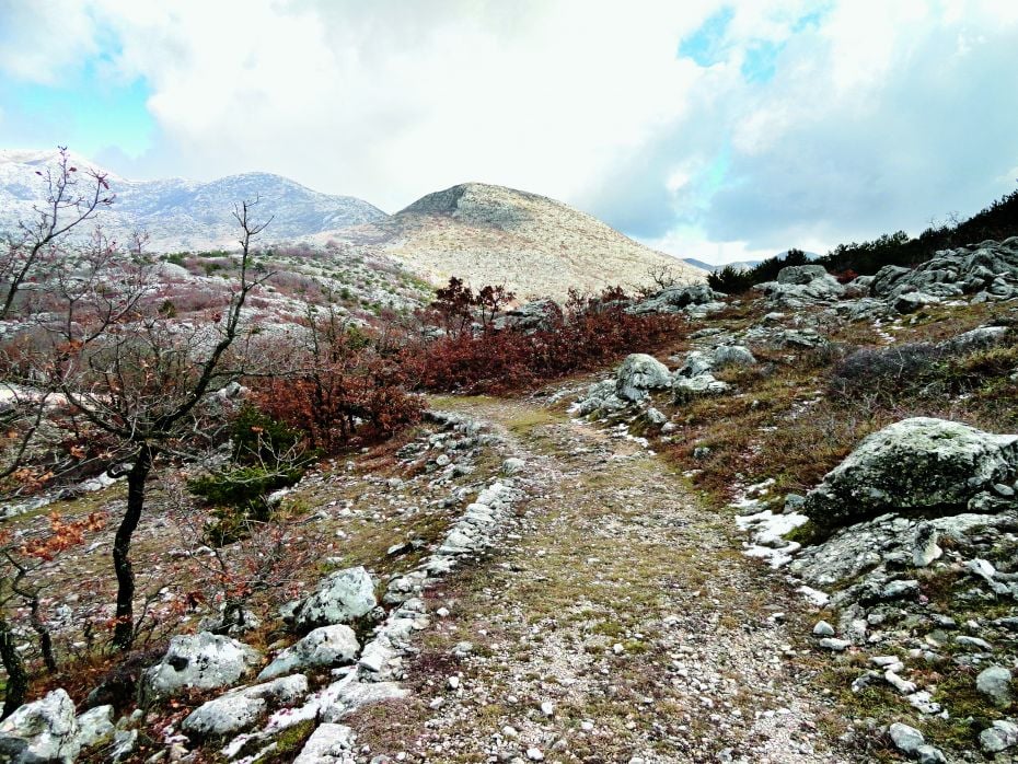
START EXPLORING
Artillery Trail
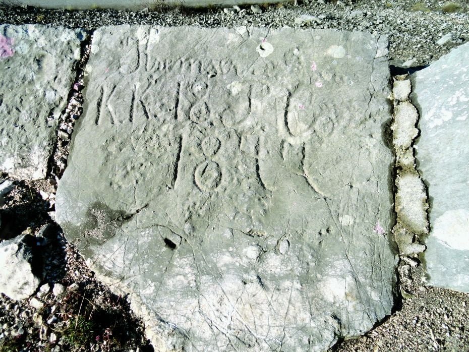
In the midst of World War One, most likely in the first half of 1916, the Austro-Hungarian Empire built a large number of fortifications in the wider area of the Staza mountain pass (897 m) on Mount Biokovo
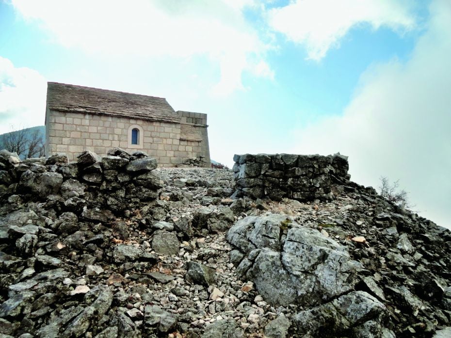
The entire defence system was created for protection from possible attacks and landing operations by Triple Entente forces from the sea
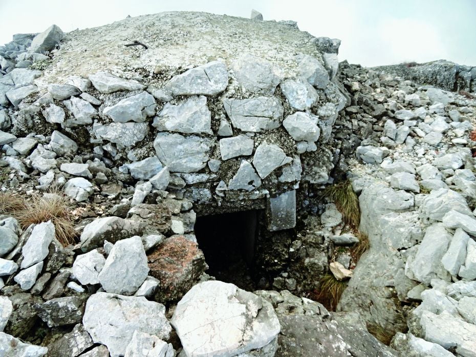
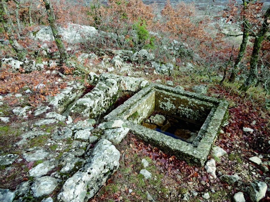
The Austrian military road leads to the top of the slope of Mount Biokovo and features artillery and rifle positions, trenches, wells, stone guard posts, and barracks. Every part of this defensive line offers fantastic views of the Makarska Littoral and the neighbouring islands of Brač and Hvar.
A thrilling journey of discovery, unforgettable activities that promise to delight all the senses.
START
43º15’32.461” N / 17º6’11.351” E From the road, beneath the Church of St. Elijah (Sveti Ilija), the route goes steeply uphill to the plateau in front of the church, where it joins a hiking trail to the east that follows the ridge and the trenches
0.60 KM
arrival at the bend of an old walled road (on the northern side of the trail; before joining the road, there is a horse watering trough, and on the southern side a vantage point); continue uphill along the road; the road narrows and turns into paths that lead to the trenches
1.10 KM
arrival at the trench complex, the most impressive being those in the cliff; return to the road the same way
2.15 KM
turn right
2.60 KM
arrival at a wide gravel road where the route turns left
3.49 KM
arrival at an asphalt road and return to the starting point
