145– For sky fliers
As if drawn on the canvas of the old masters, anchored on a small, elongated peninsula in the palm of the Adriatic, Stobreč at first glance invites you to immortalize it in your travelogues for yourself. Located next to Split on the western side and the mouth of the Žrnovnica river on the other, it began its history as early as the Iron Age as the settlement of Epetij. An excellent position in a sheltered bay with fertile fields in the interior ensured a significant commercial boom in the Hellenistic era when it was surrounded by a rampart with two faces, and today’s name is due to its patron Saint Lawrence. The river delta offered a rich hunting ground for fish and game, and the activity of salt picking was woven into the toponyms, Slanice and Soline. Žrnovnica descends to the mouth with its waterfalls and rapids in a 4.8-kilometre-long course. According to legend, the Empress Maria Theresa once gazed at the beauty of this landscape while traveling through her Empire and decided to stop and take a breather from the heat of a summer’s day as she dipped her tired feet into the clean and crystal water. On the left bank of the river you will find another surprise: a large, naturally shaped rock called the Zmijin kamen (Snake stone), a mythological site under Perun protected as a cultural asset.
Technical characteristics
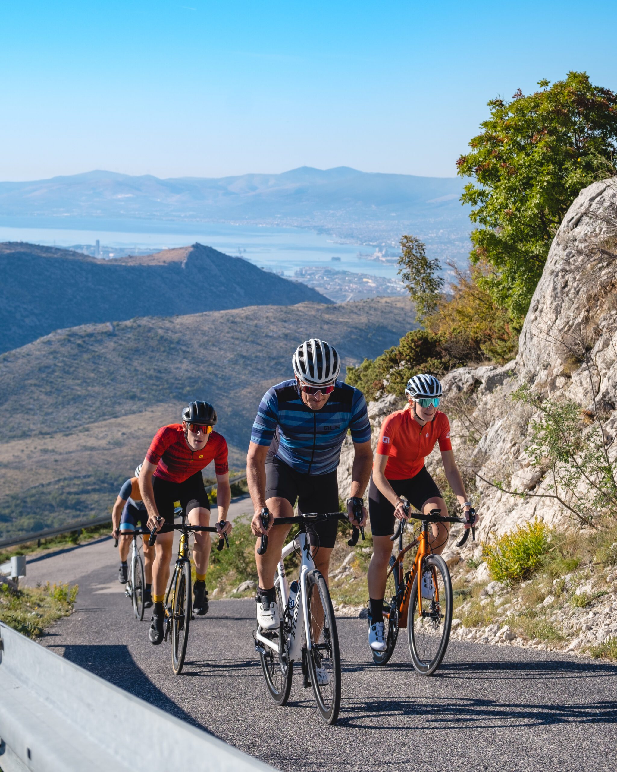
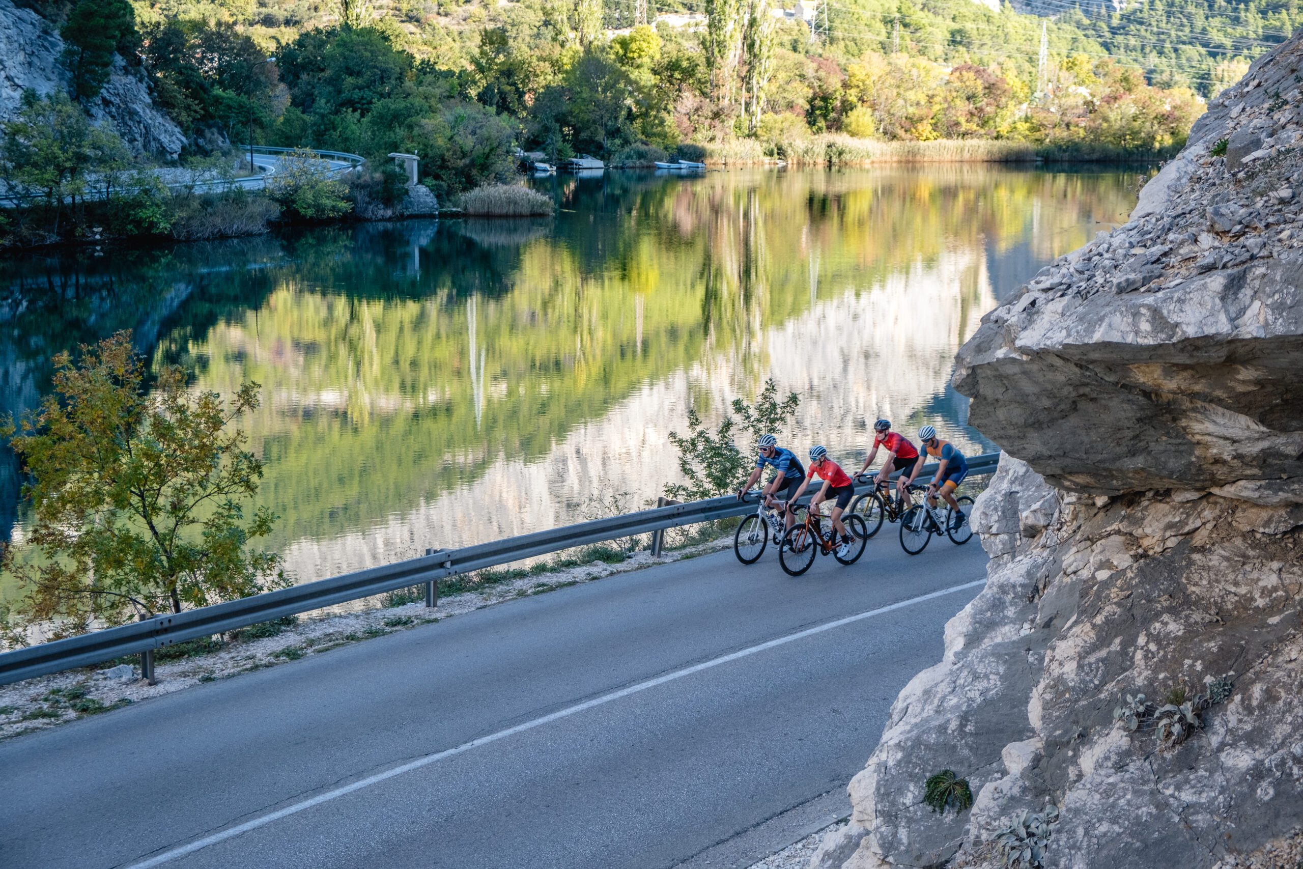
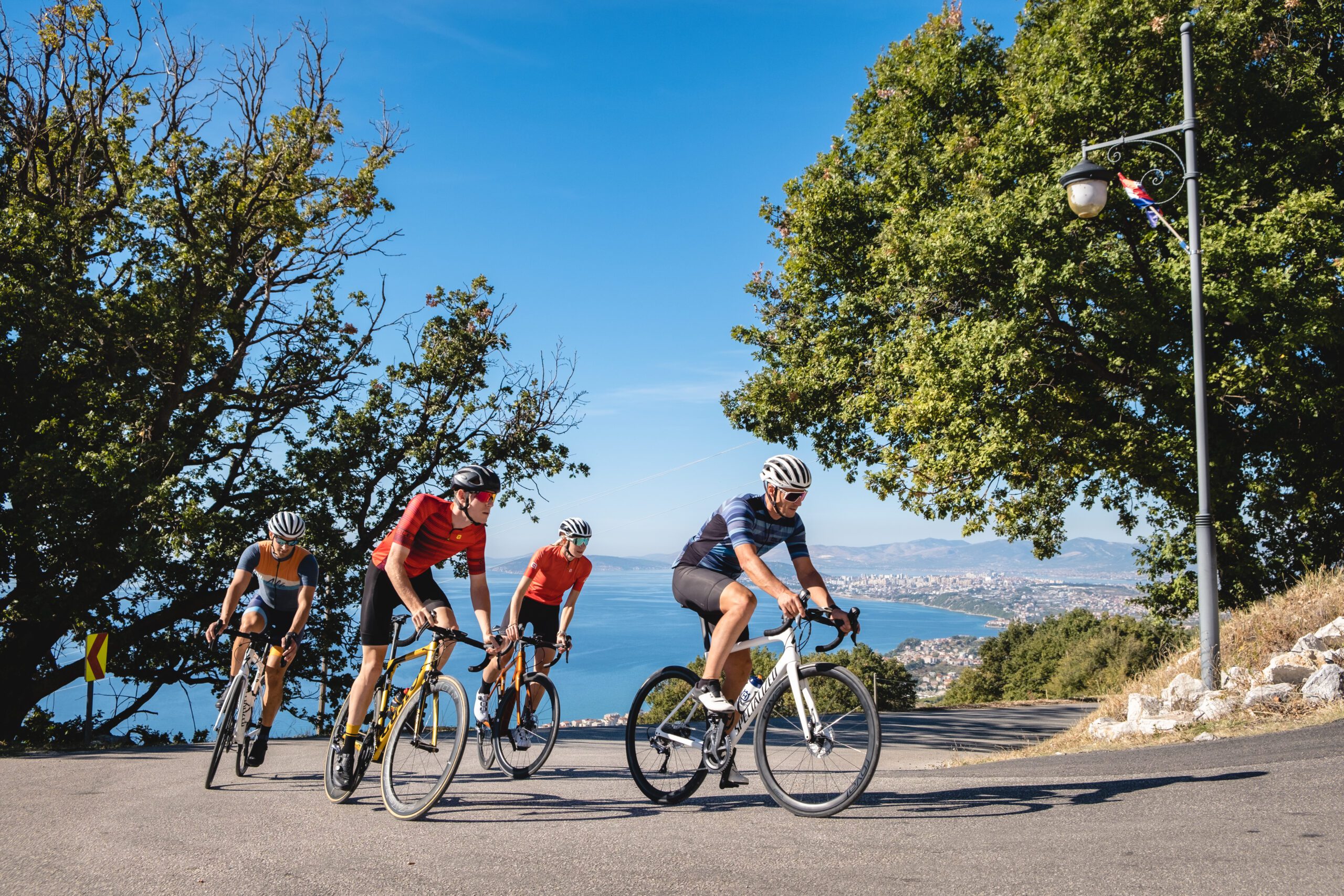
This 89.1 km long trail with a difference in altitude of 1158 m begins with a 25 km long ride by the sea and along the Cetina canyon with gorgeous views, where the first, 4.8 km long climb begins with an average gradient of 4.5% with 12 dynamic hairpin bends. A 4 km long descent along 7 hairpin bends descends back to the Cetina River. The next, 3.4 km long climb starts at the 38th kilometre and leads to the village of Zadvarje, where the ride begins on a slightly gentler undulating terrain all the way to Gata, where the longest climb on the trail begins, taking you up for 263 m over 9.4 km with an average gradient of 2.6%, which means that it is not extremely physically demanding. The descent towards Žrnovnica has very steep gradients in some points with a number of hairpin bends, so it is important to ride carefully. The course is a combination of wide two-lane roads on the first half and local narrow roads without much traffic on the second half.
Start your
adventure
TRAIL LINKS
DOWNLOADS
LOCATION
Stobreč – Podstrana – Jesenice – Omiš – Kučiće – Zadvarje – Šestanovac – Blato na Cetini – Seoca – Gata – Dubrava – Donje Sitno – Žrnovica – Stobreč
DURATION
4h
LENGTH
89.1km
ELEVATION
1158m
TYPE
Asphalt: 89.1 km
Macadam: 0 km
BOTTOM ELEVATION
1m
TOP ELEVATION
1158m
START POINT
Stobreč
END POINT
Stobreč
A thrilling journey of discovery, unforgettable activities that promise to delight all the senses.


