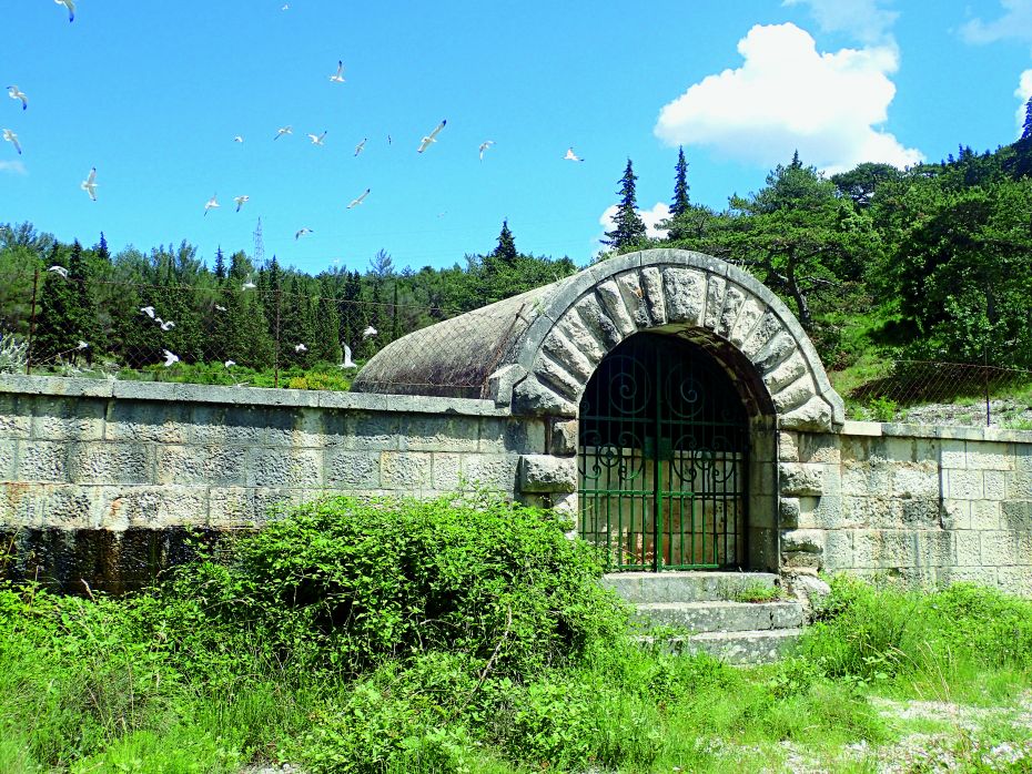
The waters of Nerežišća
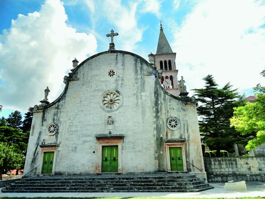
Nerežišća, for many centuries the administrative centre of Brač (until 1828), is known for its valuable heritage in the form of its sacral architecture and arts, but also for its exceptional water supply system
LOCATION
Nerežišća
LENGTH
3.00 km
DURATION
01h
DIFFICULTY
Easy
View more
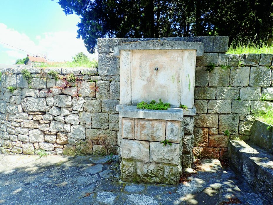
Due to the lack of surface water courses and the increased salinity of its underground waters, Brač was in the past often and quite rightly referred to as the ‘waterless island’.
Until the 1970s, when drinking water was brought to the island by means of an underwater pipeline from the River Cetina, collecting rainwater was of crucial importance for life on the island. Getting by in such circumstances resulted in some of the best examples of building water supply systems. The most prominent ones can be found in the village of Nerežišća.
 TRIAL INFO
Start your
adventure
TRAIL LINKS
DOWNLOADS
LOCATION
Nerežišća
DURATION
01h
LENGTH
3.00 km
DIFFICULTY
Easy
ELEVATION
564 m
TYPE
Asphalt: 0.80 km
Macadam: 2.20 km
BOTTOM ELEVATION
352m
TOP ELEVATION
564m
START POINT
Nerežišća
END POINT
Zvirin dolac
A thrilling journey of discovery, unforgettable activities that promise to delight all the senses.