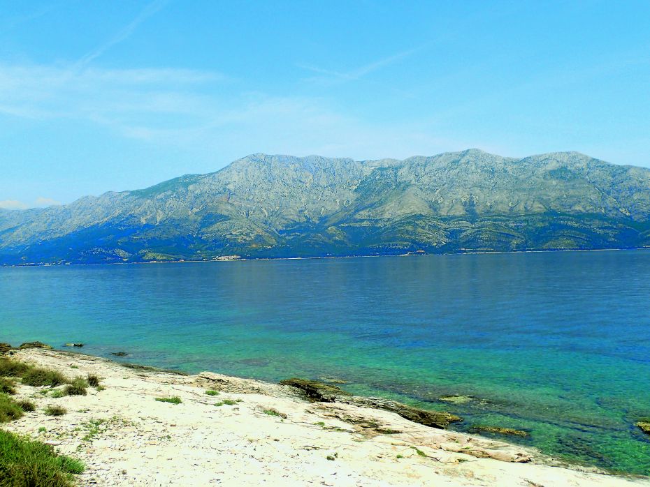
Cape Sućuraj
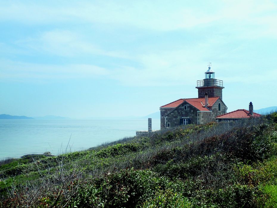
Sućuraj Lighthouse is located on the easternmost coast of the island of Hvar.
LOCATION
Sućuraj
LENGTH
2.30 km
DURATION
45min
DIFFICULTY
Easy
View more
It was built in 1889 as part of the overall Austro-Hungarian project of establishing a system of lighthouses in the Adriatic from the early 19th until the beginning of the 20th century.
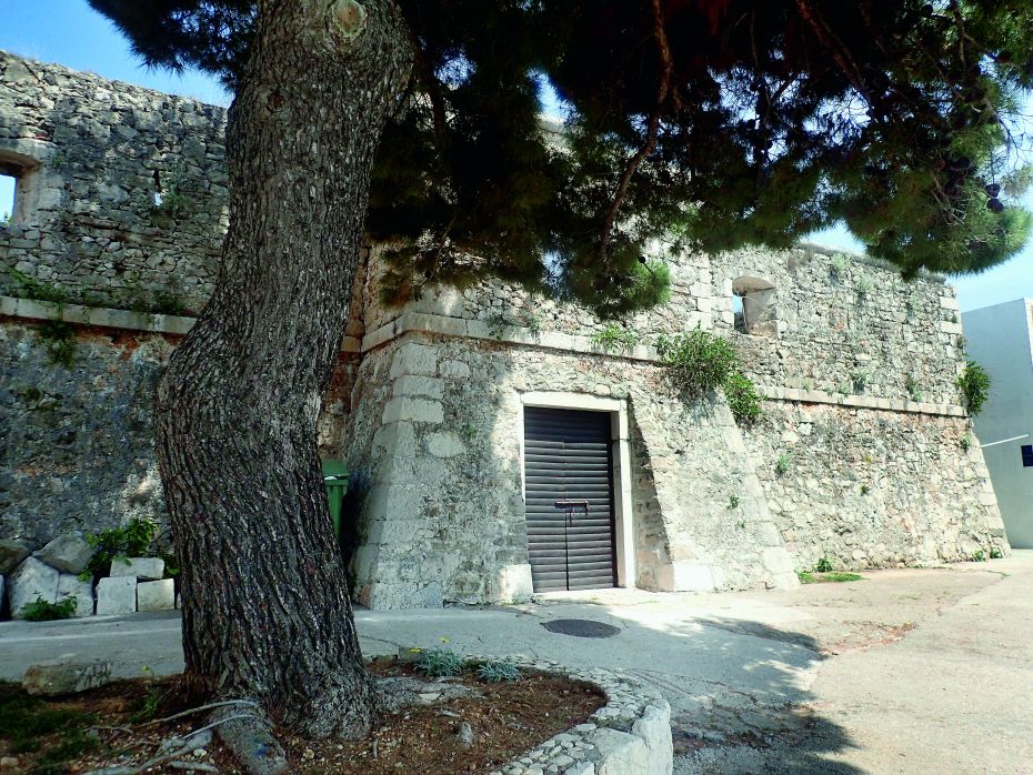
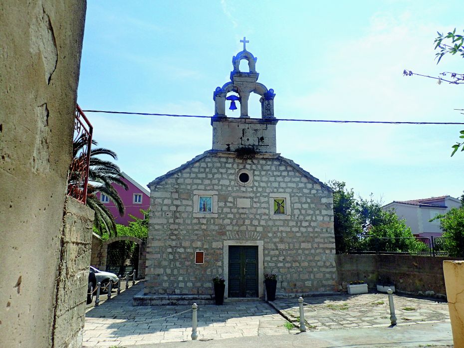
This lighthouse is a symbol of the small town of the same name (which comes from the former medieval Church of St. George – Sveti Juraj – whose existence in the area of present-day Sućuraj was recorded in the Hvar Municipality Statue of 1331). Thanks to its strategic position, Sućuraj plays an important role in the surveillance of the waters in the Hvar, Korčula and Neretva Channels. The legend of the fortified palace of the Illyrian Queen Teuta (3rd century BC) at the site of Košćak (Teuta’s Wall, north of Sućuraj) and the Venetian fortress of 1613 in Sućuraj are both parts of the local history.
 TRIAL INFO
Start your
adventure
TRAIL LINKS
DOWNLOADS
LOCATION
Sućuraj
DURATION
45min
LENGTH
2.30km
DIFFICULTY
Easy
ELEVATION
16m
TYPE
Asphalt: 1.50 km
Macadam: 0.80 km
BOTTOM ELEVATION
1m
TOP ELEVATION
16m
START POINT
Sućuraj
END POINT
Sućuraj
A thrilling journey of discovery, unforgettable activities that promise to delight all the senses.